10 Benefits of GIS Mapping
Andrew Chong • 2024-04-03
Discover the top 10 benefits of GIS mapping for organizations, highlighting how it enhances decision-making, planning, resource optimization, and communication. This article explores how GIS technology provides accurate visualizations for better data management, efficiency, customer service, safety, collaboration, and sustainability, making it an indispensable tool in the data-driven landscape.
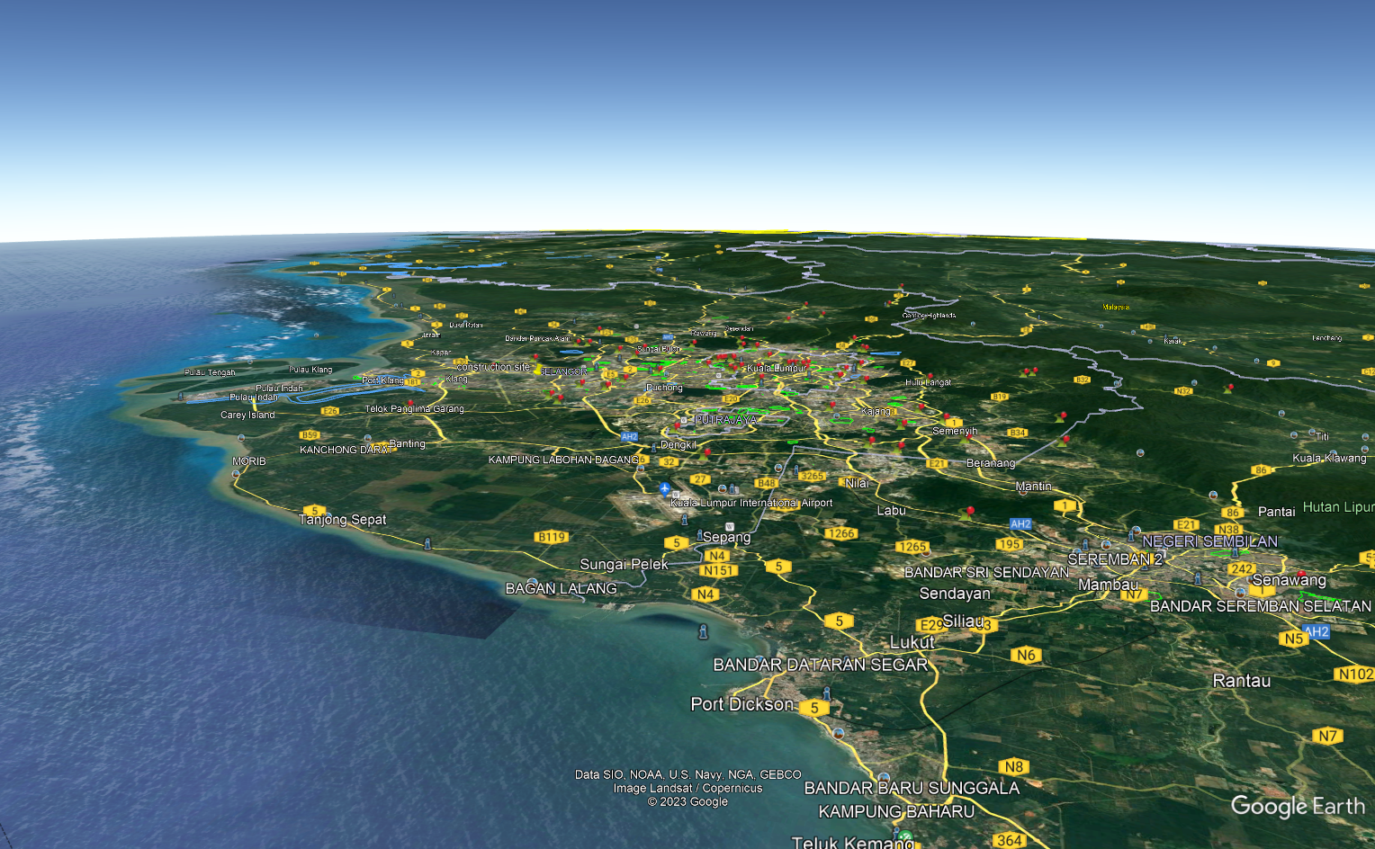
Geographic Information System (GIS) mapping is a powerful tool that enables organizations to visualize and analyze spatial data. It combines different types of data, such as satellite imagery, maps, and demographic data, to produce visualizations that help organizations make informed decisions. In this blog post, we will explore the top 10 benefits of GIS mapping.
- Improved Decision Making - GIS mapping helps organizations make informed decisions by providing them with accurate and up-to-date information. It enables them to identify patterns and relationships that might be missed with traditional methods.
2. Better Planning - GIS mapping enables organizations to plan more effectively by providing them with a clear understanding of their surroundings. It allows them to identify key features, such as transportation routes, topography, and land use, that are critical for planning.
3. Resource Optimization - GIS mapping helps organizations optimize their resources by providing them with data on where resources are needed the most. It enables them to allocate resources more efficiently, which can result in cost savings and improved outcomes.
4. Enhanced Communication - GIS mapping provides organizations with a powerful tool for communicating complex information. It enables them to produce maps, charts, and visualizations that are easy to understand, which can help stakeholders make more informed decisions.
5. Improved Data Management - GIS mapping enables organizations to manage their data more effectively by providing them with a single source of truth. It ensures that all data is accurate, up-to-date, and consistent, which can result in improved decision making.
6. Increased Efficiency - GIS mapping helps organizations work more efficiently by providing them with a range of tools that enable them to automate tasks, analyze data, and visualize information. This can help them save time and reduce costs.
7. Better Customer Service - GIS mapping enables organizations to provide better customer service by providing them with accurate and up-to-date information. It enables them to respond to customer inquiries more quickly and effectively, which can improve customer satisfaction.
8. Improved Safety - GIS mapping helps organizations improve safety by providing them with data on potential hazards and risks. It enables them to identify areas that are at risk and take appropriate measures to reduce risks.
9. Enhanced Collaboration - GIS mapping enables organizations to collaborate more effectively by providing them with a platform for sharing data and visualizations. It enables teams to work together more effectively and share insights and ideas.
10. Improved Sustainability - GIS mapping enables organizations to make decisions that are more sustainable by providing them with data on the environment, such as land use, water resources, and biodiversity. It enables them to make decisions that are more environmentally friendly and that can help protect natural resources.
In conclusion, GIS mapping is a powerful tool that offers a range of benefits to organizations of all sizes. It enables them to make informed decisions, plan more effectively, optimize their resources, and improve their communication. It can also help them work more efficiently, provide better customer service, and improve safety. With these benefits, GIS mapping has become an essential tool for organizations looking to gain a competitive edge in today's data-driven world


