Industries Where GIS Technology is Most Important
Andrew Chong • 2024-04-03
Uncover the transformative impact of GIS technology across diverse sectors, from urban planning and natural resource management to public health and emergency response. This article delves into how GIS facilitates informed decision-making, optimizes operations, and enhances sustainability in industries critical to our society and environment.
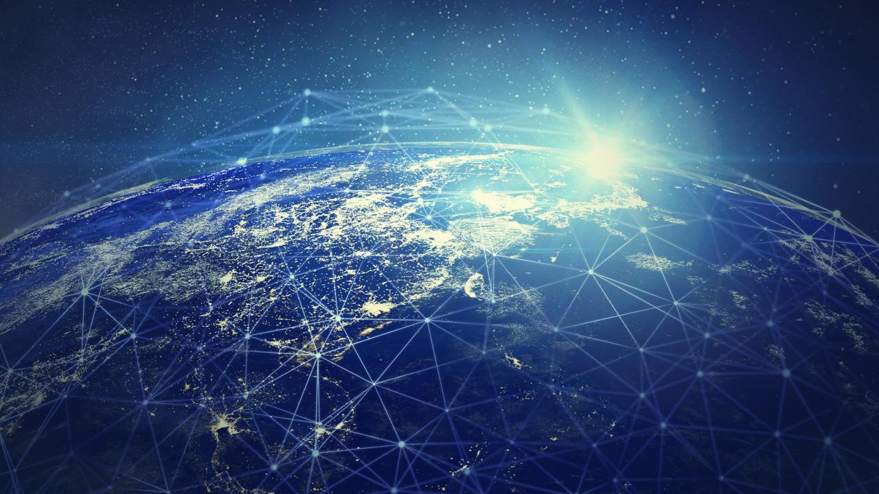
Geographic Information System (GIS) technology has become increasingly important across a range of industries in recent years. GIS is a powerful tool that allows users to capture, store, manipulate, analyze, and display geospatial data. In this article, we will explore some of the industries where GIS technology is most important.
- Urban Planning and Real Estate
GIS is widely used in urban planning and real estate industries to analyze demographic data, land use patterns, and zoning regulations. It is used to identify suitable locations for new developments, determine the impact of new construction on surrounding infrastructure, and plan transportation networks. GIS is also used to map urban ecosystems, such as parks, green spaces, and water bodies, and to plan and manage urban infrastructure and utilities.
2. Natural Resource Management
GIS is critical in natural resource management for mapping and analyzing natural resources, such as forests, water resources, and wildlife habitats. It is used to monitor and manage natural resources, plan conservation efforts, and protect fragile ecosystems. GIS is also used to track the spread of invasive species, map wildlife habitats, and analyze the impact of land use and climate change on natural resources.
3. Public Health
GIS is important in public health for analyzing and tracking disease outbreaks, identifying health risks, and developing strategies for prevention and treatment. It is used to map the distribution of diseases and environmental health hazards, monitor the spread of infectious diseases, and plan emergency responses to public health crises. GIS is also used to map health care facilities, analyze health care access and disparities, and plan public health interventions.
4. Agriculture
GIS is widely used in agriculture for crop management, land use planning, and soil analysis. It is used to monitor crop growth and health, optimize crop yields, and analyze soil and water quality. GIS is also used to map and analyze farm operations, track agricultural resources, and plan irrigation and drainage systems.
5. Environmental Management
GIS is important in environmental management for mapping and analyzing environmental data, such as air and water quality, wildlife habitats, and land use. It is used to plan conservation efforts, monitor environmental impacts, and manage natural resources. GIS is also used to track the spread of pollution, map and analyze environmental risks, and plan and manage waste management facilities.
6. Emergency Management
GIS is critical in emergency management for disaster preparedness, response, and recovery. It is used to identify high-risk areas, plan evacuation routes, and coordinate emergency response efforts. GIS is also used to map and analyze disaster impacts, track the spread of diseases and pollutants, and plan and manage disaster response resources.
7. Transportation
GIS is widely used in transportation industries for mapping and analyzing transportation networks, optimizing transportation routes, and managing traffic flow. It is used to plan new transportation infrastructure, analyze traffic patterns, and improve public transportation services. GIS is also used to map and analyze logistics and supply chain networks, track fleet operations, and optimize transportation operations.
GIS technology is important in a wide range of industries, It is a versatile tool that can help organizations make informed decisions, improve efficiency, and enhance collaboration. As technology continues to evolve, GIS is likely to become even more important in the years to come.
See More Posts


Discovering location intelligence, one layer at a time.
Solutions
Oblique
Copyright © 2024 Geomapic Sdn Bhd. All rights reserved.